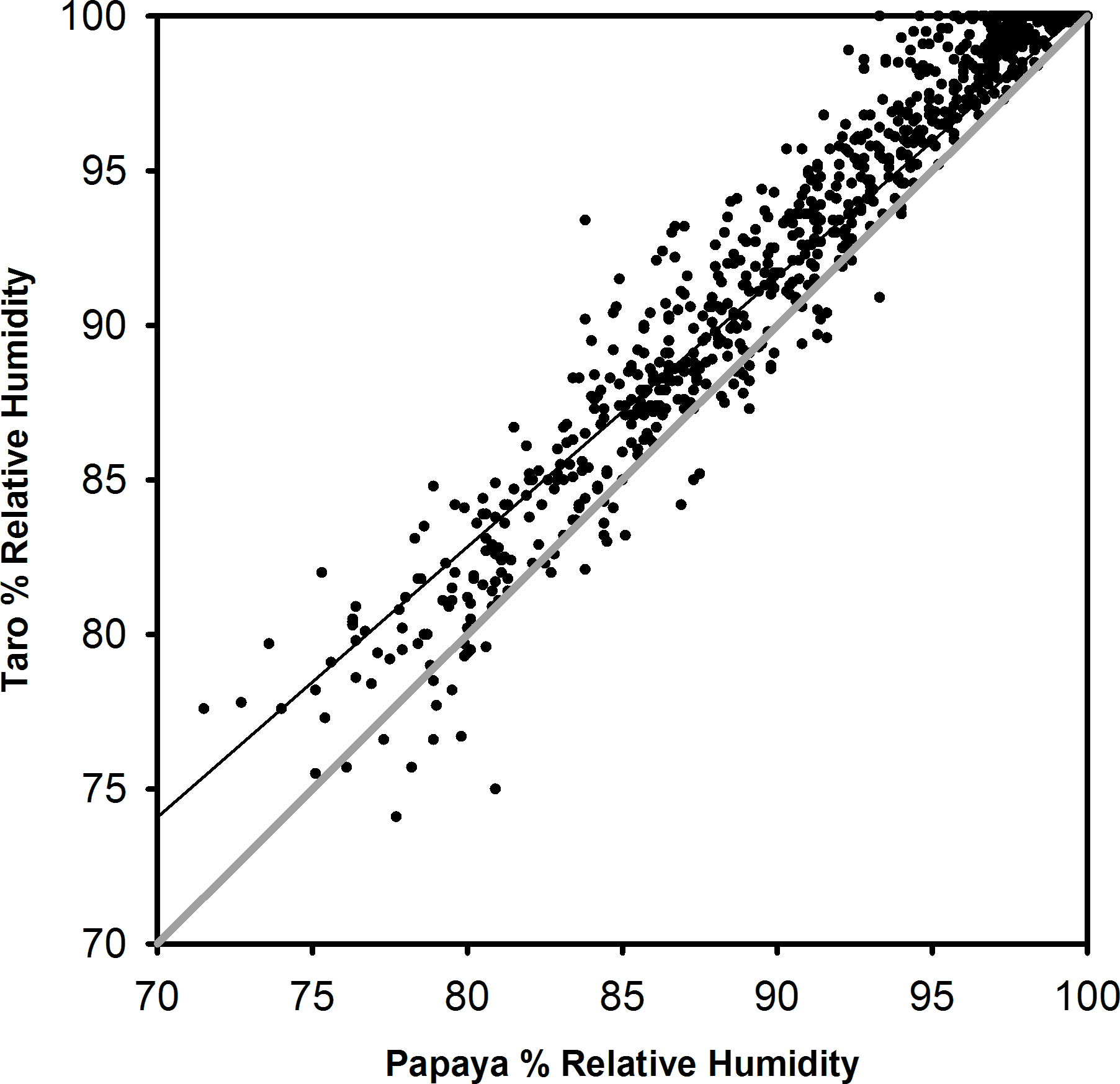
In tropical rainforests, large-scale deforestation is considered one of the biggest threats to the environment. This threat has been shown to contribute to a loss of biodiversity, carbon storage, and hydrological services such as erosion control, streamflow regulation, and water quality. Interception losses are a much higher proportion of the water budget in areas such as moist tropical forests, where precipitation can exceed 3000 mm per year. Given interception is higher in forests with large canopy storage capacity than low stature vegetation, we aimed to identify the relative differences in leaf wetness duration in Costa Rican premontane forest and adjoining cropland. Biomass alone determines maximum interception storage, but does not determine interception loss, since storage can saturate with relatively small rain events. We aimed to determine if leaf wetness duration (LWD) is positively correlated with interception. Forest leaves stayed wet five times longer than the crop fields, 487 ± 41 minutes compared to 94 ± 37 minutes. Within crop species, papaya took twice the time to dry than taro and sweet potato (137 ± 51 in contrast to 73 ± 23 minutes). Crop heights were well correlated with dry-down rates (r2 = 0.98). These results suggest the possibility of higher runoff and alteration of rainfall recycling in the humid tropics, following tropical forest conversion to cropland.