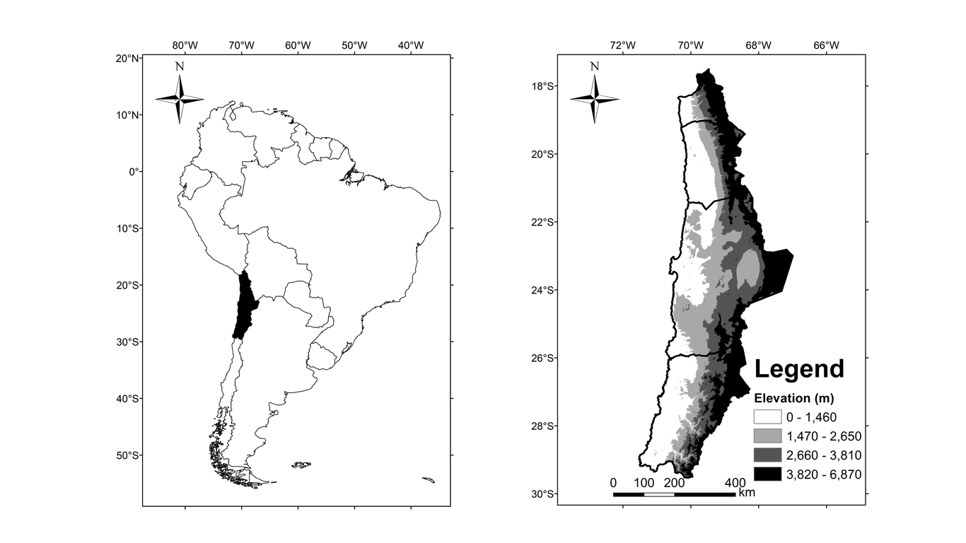
The Norte Grande of Chile (17°S-29°S) features arid regions, where rainfall is generally convective with high spatial and temporal variability, which is the cause of floods with large amounts of sediments due to water erosion. The most relevant factor in erosive processes in arid regions is erosivity, which can be quantified by the RUSLE R-factor, but precipitation data are required every 30 minutes, however, these records are limited. The ones that are available are not enough to characterize it spatially. Consequently, the objective of this study is to evaluate regression models of the annual erosivity using rainfall aggressiveness indices as an explanatory variable, with the aim of analyzing the spatial behavior of erosion. Correlations were made between the maximum intensity in 30 minutes (I30) to the maximum intensity in one hour (I60), which were useful for calculating the R-factor for stations with hourly data by applying a correction factor to I60 determined by the correlations. Four regression models were established for each of the six aggressiveness indices and a relationship was selected through validation, using stations with few years of continuous recording. The selected equation allowed generating 103 spatially distributed erositivy-values, which served to make a subsequent co-kriging, in order to make a spatial analysis of rainfall erosivity. Results showed that there are under-estimations of I30, however, they are considered acceptable due to the efficiency obtained (Nash-Sutcliffe = 0.787). The calculated R-factor data-points allowed selection of the best-fit potential equation, which uses the mean annual rainfall as a predictor